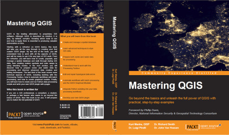
Mastering QGIS is Ready for your Bookshelves!
It is with great excitement and pride that I announce our book Mastering QGIS has been published! I co-authored this book with Dr. Richard Smth, Dr. Luigi Pirelli and Dr. John Van Hoesen. It is available as both an eBook and in hard copy from Packt Publishing and Amazon.
QGIS is the leading alternative to proprietary GIS software. Although QGIS is described as intuitive, it is also, by default, complex. Knowing which tools to use and how to apply them is essential to producing valuable deliverables on time.
Starting with a refresher on QGIS basics, this book will take you all the way through to creating your first custom QGIS plugin. By the end of the book you will understand how to work with all the aspects of QGIS, and will be ready to use it for any type of GIS work.
The introductory section servers as a quick start guide for those with little QGIS experience. It includes directions for installing QGIS on all the major platforms, reviews the layout of QGIS Desktop and Browser, and covers adding data, working with projections, querying tables, creating maps and finding and installing plugins.
From the refresher, you will learn how to create, populate and manage a spatial database and walk through styling GIS data, from creating custom symbols and color ramps, to using blending modes. In the next section, you will discover how to prepare vector and raster data for processing and discover advanced data creation and editing techniques, such as geocoding, georeferencing and topological editing. The last third of the book covers more technical aspects of QGIS, including working with the Processing Toolbox, how to automate workflows with batch processing, and how to create graphical models. Finally, you learn how to create and run Python data processing scripts and write your own QGIS Plugin with pyqgis.
This book is the most thorough tutorial for everyone needing a free and open source desktop GIS.


 Birds Eye View GIS